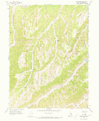
1962 Map of Sams Canyon
USGS Topo · Published 1973About this map
Strawberry River flows across the northern edge of this high-country landscape, where narrow canyons and steep hollows define the drainage patterns of the western Uintah Basin. The topography is characterized by a complex network of dry and seasonal watercourses, including Sams Canyon and the notable Lake Canyon to the south. Mineral extraction is represented by the Frank Mine and Payne Mine in the northeastern corner, while early 20th-century ranching and survey landmarks appear in the form of named water sources like O Driscoll Spring and Wildhorse Spring.
Find a feature on this map
34 named features on this map. Tap any name to fly to it.
Don’t see what you’re looking for? This feature index may not catch every label — zoom into the map to look around manually.
Map Details
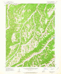
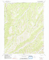
Editions of this 1962 Sams Canyon Map
3 editions found
Other maps of this area

1885 · Uinta
USGS Topo · 1:250,000

1886 · Price River
USGS Topo · 1:250,000

1896 · Price River
USGS Topo · 1:250,000

1954 · Salt Lake City
USGS Topo · 1:250,000

1956 · Price
USGS Topo · 1:250,000

1958 · Salt Lake City
USGS Topo · 1:250,000

1960 · Salt Lake City
USGS Topo · 1:250,000

1960 · Price
USGS Topo · 1:250,000

1962 · Price
USGS Topo · 1:250,000

1962 · Strawberry Pinnacles
USGS Topo · 1:24,000