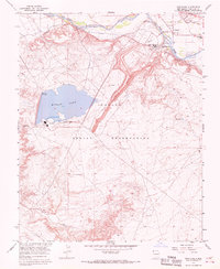
1966 Map of Fruitland
USGS Topo · Published 1969About this map
Navajo Mine dominates the central landscape of this mid-1960s survey, illustrating the industrial infrastructure of the Navajo Indian Reservation during a period of significant energy development. The massive excavation site connects directly to the Four Corners Powerplant, where prominent stacks and a substation sit on the southern shore of Morgan Lake. This artificial reservoir is a defining feature of the high desert terrain, serving the cooling needs of the nearby plant.
Find a feature on this map
28 named features on this map. Tap any name to fly to it.
Don’t see what you’re looking for? This feature index may not catch every label — zoom into the map to look around manually.
Map Details
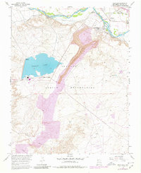
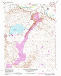
Editions of this 1966 Fruitland Map
Other maps of this area

1889 · Chaco
USGS Topo · 1:250,000

1892 · Chaco
USGS Topo · 1:250,000

1927 · Sulphur Spring
USGS Topo · 1:96,000

1928 · Kirtland
USGS Topo · 1:125,000

1932 · Kirtland
USGS Topo · 1:125,000

1934 · Chimney Rock
USGS Topo · 1:62,500

1936 · Chimney Rock
USGS Topo · 1:62,500

1954 · Shiprock
USGS Topo · 1:250,000

1958 · Shiprock
USGS Topo · 1:250,000

1959 · Shiprock
USGS Topo · 1:250,000