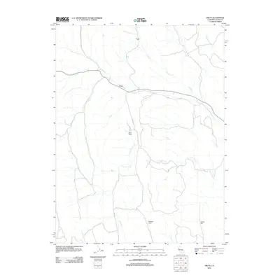
2012 Map of Fruto
USGS Topo · Published 2012About this map
Fruto serves as the central focal point of this Glenn County landscape, positioned along the winding course of Nye Cr and the route of State Highway 162. The topography is defined by significant open spaces and ranching land, including the Bunnell Ranch to the north and expansive natural depressions such as Clark Valley and Hubbard Valley. This 2012 survey illustrates a sparsely populated interior region where the drainage network of S Fork Willow Cr, Gopher Cr, and Filippi Cr dictates the movement of local traffic, primarily via routes like Co Rd 303. The map captures the quiet character of the area's agricultural and grazing lands, providing a clear view of the geographic relationship between isolated settlements and the seasonal watercourses that cross Squaw Flat and the surrounding foothills.
Find a feature on this map
12 named features on this map. Tap any name to fly to it.
Don’t see what you’re looking for? This feature index may not catch every label — zoom into the map to look around manually.
Map Details
Editions of this 2012 Fruto Map
This is the sole edition of this map. No revisions or reprints were ever made.
Other maps of this area
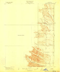
1904 · Walker Creek
USGS Topo · 1:31,680
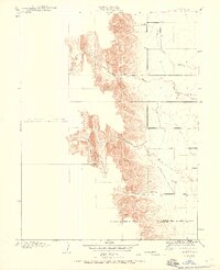
1904 · Logan Creek
USGS Topo · 1:24,000
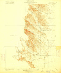
1917 · Kurand
USGS Topo · 1:31,680
1918 · Logan Creek
USGS Topo · 1:31,680
1919 · Fruto
USGS Topo · 1:62,500
1919 · Elk Creek
USGS Topo · 1:62,500
1943 · Lodoga
USGS Topo · 1:62,500
1944 · Fruto
USGS Topo · 1:62,500
1948 · Elk Creek
USGS Topo · 1:62,500
1951 · Stonyford
USGS Topo · 1:62,500