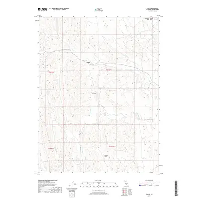
2018 Map of Fruto
USGS Topo · Published 2018About this map
Fruto serves as the central focal point in this portion of Glenn County, situated along the path of Nye Cr and Highway 162. The landscape is defined by its series of distinct interior valleys and drainage systems, including Clark Valley and the southern Hubbard Valley. These topographical depressions are interconnected by a network of seasonal watercourses such as Gopher Cr, Filippi Cr, and the S Fork Willow Cr. The importance of local transit is evidenced by the prominent Clarks Valley Rd, which winds through the terrain to connect these isolated flatlands. To the northeast, the terrain slopes toward Salt Gulch and Hayes Hollow Cr, illustrating the complex drainage patterns that characterize this rural California ranching and agricultural region.
Find a feature on this map
17 named features on this map. Tap any name to fly to it.
Don’t see what you’re looking for? This feature index may not catch every label — zoom into the map to look around manually.
Map Details
Editions of this 2018 Fruto Map
This is the sole edition of this map. No revisions or reprints were ever made.
Other maps of this area

1904 · Walker Creek
USGS Topo · 1:31,680

1904 · Logan Creek
USGS Topo · 1:24,000

1917 · Kurand
USGS Topo · 1:31,680

1918 · Logan Creek
USGS Topo · 1:31,680

1919 · Fruto
USGS Topo · 1:62,500

1919 · Elk Creek
USGS Topo · 1:62,500

1943 · Lodoga
USGS Topo · 1:62,500

1944 · Fruto
USGS Topo · 1:62,500

1948 · Elk Creek
USGS Topo · 1:62,500

1951 · Stonyford
USGS Topo · 1:62,500