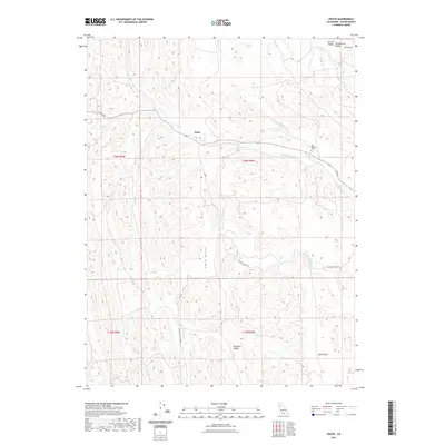
2021 Map of Fruto
USGS Topo · Published 2021About this map
Fruto sits at the edge of the foothills where the western ridges of Glenn County meet the broad expanse of the Sacramento Valley. This 2021 topographic record reveals a landscape defined by seasonal drainages like Nye Cr and Gopher Cr, which cut through the complex terrain of Clark Valley and Hubbard Valley. For genealogists and local historians, the Nye Pioneer Cem serves as a vital landmark of early settlement in this part of Northern California. The map details the transition from the flat agricultural lands of the Central Valley to the more varied geography of Salt Gulch and Squaw Flat. Transport through this rural area is documented along routes such as Clarks Valley Rd and C St, providing a clear view of the modern infrastructure overlaid on historic land divisions.
Find a feature on this map
23 named features on this map. Tap any name to fly to it.
Don’t see what you’re looking for? This feature index may not catch every label — zoom into the map to look around manually.
Map Details
Editions of this 2021 Fruto Map
This is the sole edition of this map. No revisions or reprints were ever made.
Other maps of this area

1904 · Walker Creek
USGS Topo · 1:31,680

1904 · Logan Creek
USGS Topo · 1:24,000

1917 · Kurand
USGS Topo · 1:31,680

1918 · Logan Creek
USGS Topo · 1:31,680

1919 · Fruto
USGS Topo · 1:62,500

1919 · Elk Creek
USGS Topo · 1:62,500

1943 · Lodoga
USGS Topo · 1:62,500

1944 · Fruto
USGS Topo · 1:62,500

1948 · Elk Creek
USGS Topo · 1:62,500

1951 · Stonyford
USGS Topo · 1:62,500