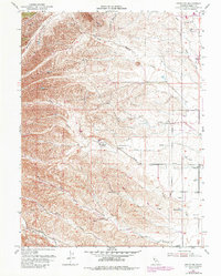
1952 Map of Fruto NE
USGS Topo · Published 1986About this map
Orland Buttes dominate the northern terrain of this Glenn County landscape, where the foothills meet the drainage systems of the Sacramento Valley. The map captures a mid-century agricultural environment defined by ranching and water management, visible through the complex network of seasonal watercourses like Hambright Creek and the various branches of Walker Creek. A prominent Levee near the Michael Ranch illustrates local efforts to control the flow of water across this alluvial landscape.
Find a feature on this map
17 named features on this map. Tap any name to fly to it.
Don’t see what you’re looking for? This feature index may not catch every label — zoom into the map to look around manually.
Map Details
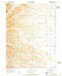
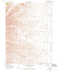
Editions of this 1952 Fruto NE Map
3 editions found
Other maps of this area

1904 · Vina
USGS Topo · 1:62,500

1904 · Walker Creek
USGS Topo · 1:31,680

1906 · Willows
USGS Topo · 1:62,500

1914 · Kirkwood
USGS Topo · 1:31,680

1914 · Orland
USGS Topo · 1:31,680

1917 · Kurand
USGS Topo · 1:31,680

1917 · Lyman
USGS Topo · 1:31,680

1919 · Fruto
USGS Topo · 1:62,500

1944 · Fruto
USGS Topo · 1:62,500

1944 · Flournoy
USGS Topo · 1:62,500