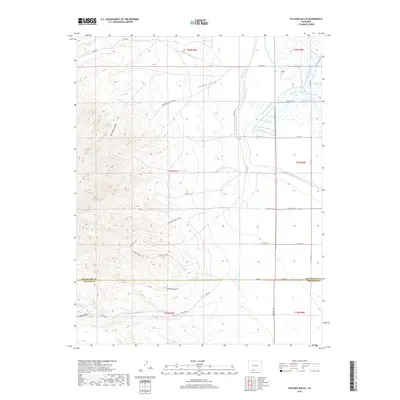
2019 Map of Fulcher Gulch
USGS Topo · Published 2019About this map
Monte Vista Canal and the Sheridan S Ditch dominate the eastern plains of this quadrant, illustrating the critical role of water management in the San Luis Valley. This irrigation infrastructure supports the agricultural activity visible near Spring Cr and the Resettlement Ditch. Moving west, the terrain rises sharply from the valley floor into the high country, marked by geological features like Fulcher Gulch and Goat Ranch Gulch. The intersection of the Rio Grande Co Conejos Co line serves as a central reference point for the region's geopolitical division. Local transportation networks range from the straight-line Gunbarrel Rd on the flats to the winding S Greenie Trail and Bronson Pk 5100 which navigate the more difficult western slopes. Goat Ranch Spring provides a rare named water source in the rugged hills north of The Canyon.
Find a feature on this map
37 named features on this map. Tap any name to fly to it.
Don’t see what you’re looking for? This feature index may not catch every label — zoom into the map to look around manually.
Map Details
Editions of this 2019 Fulcher Gulch Map
This is the sole edition of this map. No revisions or reprints were ever made.
Other maps of this area

1915 · Del Norte
USGS Topo · 1:125,000

1917 · Del Norte
USGS Topo · 1:125,000

1922 · Conejos
USGS Topo · 1:125,000

1945 · Durango
USGS Topo · 1:250,000

1953 · Durango
USGS Topo · 1:250,000

1954 · Durango
USGS Topo · 1:250,000

1961 · Durango
USGS Topo · 1:250,000

1963 · Durango
USGS Topo · 1:250,000

1964 · Monte Vista
USGS Topo · 1:24,000

1966 · Durango
USGS Topo · 1:250,000