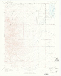
1967 Map of Fulcher Gulch
USGS Topo · Published 1971About this map
Monte Vista National Wildlife Refuge dominates the eastern landscape of this 1967 survey, where a complex network of irrigation infrastructure supported both waterfowl habitat and local agriculture. The Monte Vista Canal, Grande and Piedra Valley Canal, and Main Terrace Canal trace the edge of the valley, while the Refuge Hdqrs is situated near several flowing wells.
Find a feature on this map
25 named features on this map. Tap any name to fly to it.
Don’t see what you’re looking for? This feature index may not catch every label — zoom into the map to look around manually.
Map Details
Editions of this 1967 Fulcher Gulch Map
This is the sole edition of this map. No revisions or reprints were ever made.
Other maps of this area

1915 · Del Norte
USGS Topo · 1:125,000

1917 · Del Norte
USGS Topo · 1:125,000

1922 · Conejos
USGS Topo · 1:125,000

1945 · Durango
USGS Topo · 1:250,000

1953 · Durango
USGS Topo · 1:250,000

1954 · Durango
USGS Topo · 1:250,000

1961 · Durango
USGS Topo · 1:250,000

1963 · Durango
USGS Topo · 1:250,000

1964 · Monte Vista
USGS Topo · 1:24,000

1966 · Durango
USGS Topo · 1:250,000