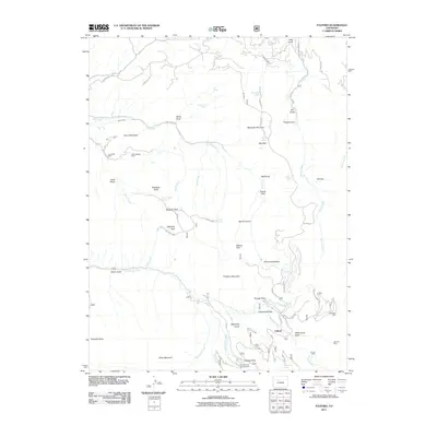
2011 Map of Fulford
USGS Topo · Published 2011About this map
Mining operations and high-country meadows define this portion of Eagle County, where the settlement of Fulford sits near the confluence of Nolan Creek and Triangle Creek. The landscape is marked by the legacy of extraction, with the Lady Belle Mine and North Dakota Mine situated on the slopes of Horse Mountain, while the Polar Star Mine and Johnson Mine occupy the southern ridges. These sites are linked by early routes such as Old Fulford and FR 418.
Find a feature on this map
64 named features on this map. Tap any name to fly to it.
Don’t see what you’re looking for? This feature index may not catch every label — zoom into the map to look around manually.
Map Details
Editions of this 2011 Fulford Map
This is the sole edition of this map. No revisions or reprints were ever made.
Other maps of this area

1909 · Mount Jackson
USGS Topo · 1:125,000

1911 · Mount Jackson
USGS Topo · 1:125,000

1957 · Leadville
USGS Topo · 1:250,000

1959 · Leadville
USGS Topo · 1:250,000

1960 · Leadville
USGS Topo · 1:250,000

1961 · Red Creek
USGS Topo · 1:24,000

1962 · Leadville
USGS Topo · 1:250,000

1962 · Grouse Mountain
USGS Topo · 1:24,000

1962 · Fulford
USGS Topo · 1:24,000

1962 · Wolcott
USGS Topo · 1:24,000