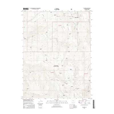
2016 Map of Fulford
USGS Topo · Published 2016About this map
White River National Forest dominates this landscape, where the settlement of Fulford sits at the base of high-elevation peaks and basins. The map illustrates a high-altitude network of resource management and recreation, defined by numerous springs like Granite Springs and Big Park Spring, and drainage ditches such as Bemis Ditch and Graham Ditch. The geography is a complex of named meadows and parks, from the central Dubach Meadows and Metheny Park to the southern Yeoman Park and the curiously named Graveyard Flats. High peaks including Adam Mtn, New York Mtn, and Porphyry Mtn provide significant vertical relief, while the northern extent shows the expansion of Edwards along the valley floor. A dense system of trails, such as the Stag Gulch Trail and New York Mountain Trail, connects these alpine features, reflecting the modern utility of this rugged Eagle County terrain.
Find a feature on this map
69 named features on this map. Tap any name to fly to it.
Don’t see what you’re looking for? This feature index may not catch every label — zoom into the map to look around manually.
Map Details
Editions of this 2016 Fulford Map
This is the sole edition of this map. No revisions or reprints were ever made.
Other maps of this area

1909 · Mount Jackson
USGS Topo · 1:125,000

1911 · Mount Jackson
USGS Topo · 1:125,000

1957 · Leadville
USGS Topo · 1:250,000

1959 · Leadville
USGS Topo · 1:250,000

1960 · Leadville
USGS Topo · 1:250,000

1961 · Red Creek
USGS Topo · 1:24,000

1962 · Leadville
USGS Topo · 1:250,000

1962 · Grouse Mountain
USGS Topo · 1:24,000

1962 · Fulford
USGS Topo · 1:24,000

1962 · Wolcott
USGS Topo · 1:24,000