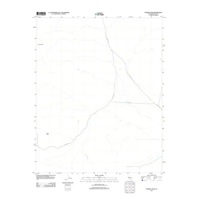
2012 Map of Funeral Peak
USGS Topo · Published 2012About this map
Funeral Peak dominates the northwestern corner of this 2012 topographic record of Inyo County, overlooking a high-desert landscape defined by arid washes and rugged relief. The map reveals the path of the Jubilee Wash as it cuts through the southern reaches, draining toward the valley floor. Historically, these remote routes provided critical access for early mining and exploration, as seen in the alignment of Furnace Creek Rd and the aptly named Lost Section Rd. In the southwestern quadrant, the elevation descends into Gold Valley, an area whose name hints at the region’s prospecting heritage. This survey, compiled from 2010 imagery and 2011 names data, provides a contemporary record of these ancient corridors through one of California’s most unforgiving environments.
Find a feature on this map
6 named features on this map. Tap any name to fly to it.
Don’t see what you’re looking for? This feature index may not catch every label — zoom into the map to look around manually.
Map Details
Editions of this 2012 Funeral Peak Map
This is the sole edition of this map. No revisions or reprints were ever made.
Other maps of this area

1908 · Furnace Creek
USGS Topo · 1:250,000

1910 · Furnace Creek
USGS Topo · 1:250,000

1933 · Avawatz Mountains
USGS Topo · 1:250,000

1940 · Eagle Tank
USGS Topo · 1:62,500

1947 · Trona
USGS Topo · 1:250,000

1948 · Trona
USGS Topo · 1:250,000

1948 · Death Valley
USGS Topo · 1:250,000

1950 · Confidence Hills
USGS Topo · 1:62,500

1951 · Funeral Peak
USGS Topo · 1:62,500

1951 · Eagle Mtn
USGS Topo · 1:62,500