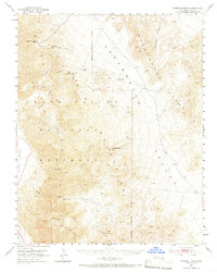
1951 Map of Funeral Peak
USGS Topo · Published 1966About this map
The eastern edges of Death Valley are defined here by the high elevations of the Black Mountains and the Greenwater Range. This mid-century survey captures the remnants of early 20th-century mining activity, marking the locations of Furnace (Site) and Greenwater (Site). These former copper-mining boomtowns are situated near the head of Greenwater Canyon, with a small Cem still noted at the latter.
Find a feature on this map
36 named features on this map. Tap any name to fly to it.
Don’t see what you’re looking for? This feature index may not catch every label — zoom into the map to look around manually.
Map Details
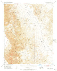
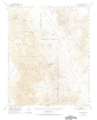
Editions of this 1951 Funeral Peak Map
4 editions found
Other maps of this area

1908 · Furnace Creek
USGS Topo · 1:250,000

1910 · Furnace Creek
USGS Topo · 1:250,000

1933 · Avawatz Mountains
USGS Topo · 1:250,000

1940 · Eagle Tank
USGS Topo · 1:62,500

1947 · Trona
USGS Topo · 1:250,000

1948 · Trona
USGS Topo · 1:250,000

1948 · Death Valley
USGS Topo · 1:250,000

1950 · Wingate Wash
USGS Topo · 1:62,500

1950 · Confidence Hills
USGS Topo · 1:62,500

1951 · Funeral Peak
USGS Topo · 1:62,500