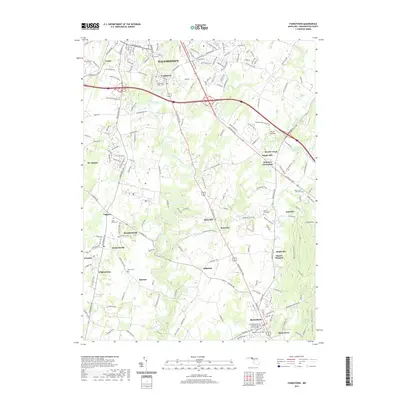
2019 Map of Funkstown
USGS Topo · Published 2019About this map
Antietam Creek meanders through the heart of Washington County, defining a landscape marked by centuries of settlement and agricultural milling. This 2019 survey documents the transition from the urban periphery of Hagerstown and Funkstown in the northwest to the more rural hamlets and old crossroads to the southeast. Historically significant sites such as Doubs Mill, Kline Mill, and the settlement of Millpoint reflect a local economy long tied to water power and early transit routes.
Find a feature on this map
186 named features on this map. Tap any name to fly to it.
Don’t see what you’re looking for? This feature index may not catch every label — zoom into the map to look around manually.
Map Details
Editions of this 2019 Funkstown Map
This is the sole edition of this map. No revisions or reprints were ever made.
Other maps of this area

1884 · Harpers Ferry
USGS Topo · 1:125,000

1891 · Harpers Ferry
USGS Topo · 1:125,000

1893 · Harpers Ferry
USGS Topo · 1:125,000

1908 · Middletown
USGS Topo · 1:48,000

1909 · Hagerstown
USGS Topo · 1:48,000

1910 · Antietam
USGS Topo · 1:62,500

1912 · Hagerstown
USGS Topo · 1:62,500

1912 · Williamsport
USGS Topo · 1:62,500

1914 · Martinsburg
USGS Topo · 1:48,000

1916 · Martinsburg
USGS Topo · 1:62,500