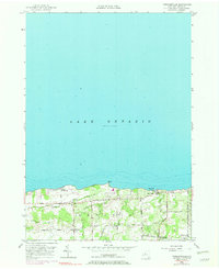
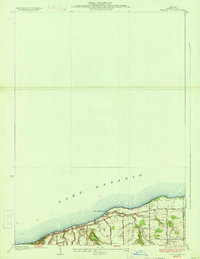
1952 Map of Furnaceville
USGS Topo · Published 1970About this map
Furnaceville and the shoreline of Lake Ontario anchor this mid-century portrait of Wayne County, New York. The landscape is defined by a dense network of country lanes such as Boston Road and Brick School Road, serving a community distributed among small clusters like Centenary and Lakeside. Near the water, Ontario On the Lake shows a concentrated residential pattern along the bluff, while Smoky Point and Bear Creek Harbor mark the interface between the land and the lake. Genealogical interest is found in local landmarks including Lakeside Cem and School No 13. The topography, revised in 1969, reveals the drainage patterns of Deer Creek and Bear Creek as they flow north through fruit-growing country toward the harbor, illustrating the area's transition from 19th-century furnace operations to a mid-20th-century agricultural and residential character.
Find a feature on this map
24 named features on this map. Tap any name to fly to it.
Don’t see what you’re looking for? This feature index may not catch every label — zoom into the map to look around manually.
Map Details
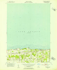
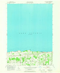
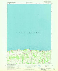
Editions of this 1952 Furnaceville Map
4 editions found
Other maps of this area

1899 · Palmyra
USGS Topo · 1:62,500

1900 · Macedon
USGS Topo · 1:62,500

1902 · Pultneyville
USGS Topo · 1:62,500

1902 · Palmyra
USGS Topo · 1:62,500

1932 · Webster
USGS Topo · 1:24,000
1934 · Ninemile Point
USGS Topo · 1:24,000

1934 · Webster
USGS Topo · 1:24,000

1942 · Ontario
USGS Topo · 1:31,680

1942 · Pultneyville
USGS Topo · 1:31,680

1943 · Williamson
USGS Topo · 1:31,680