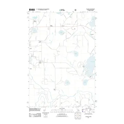
2023 Map of Gaastra
USGS Topo · Published 2023About this map
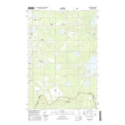
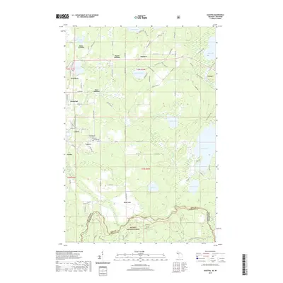
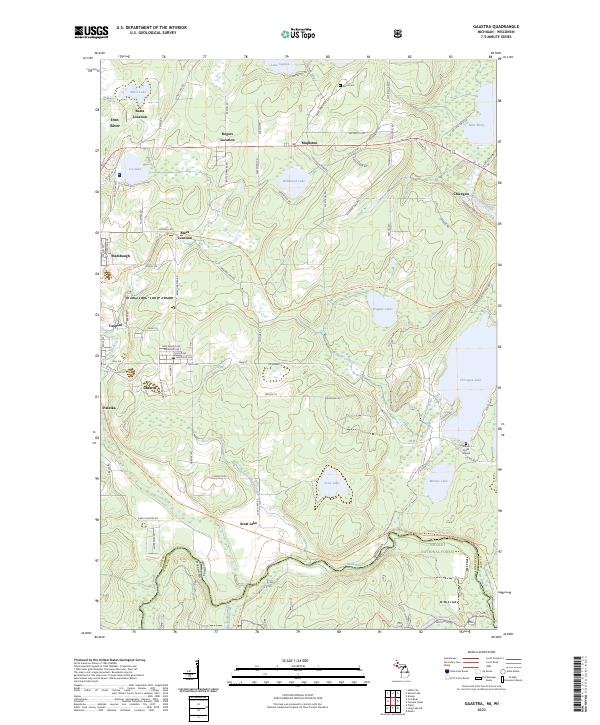
Gaastra and the neighboring settlements of Stambaugh, Caspian, and Palatka occupy the western edge of this Iron County landscape, where the Iron River flows southward toward the state line. The map reveals a transition from these established residential blocks into a lake-studded wilderness to the east, including Wildwood Lake and the expansive Chicagon Lake. This pattern of settlement suggests the region's enduring relationship with both its industrial mining roots and its role as a gateway to the north woods. To the north, the clustered housing at Bates Location and Rogers Location contrasts with the dense forest cover of the Nicolet National Forest along the southern border. Genealogists will find the Bates Cem and a historic Indian Burial Ground near Minnie Lake, providing specific points of interest for tracing local heritage. The network of county roads, such as Chicagon Mine Rd, hints at the subterranean history that once defined these communities.
Find a feature on this map
103 named features on this map. Tap any name to fly to it.
Don’t see what you’re looking for? This feature index may not catch every label — zoom into the map to look around manually.
Map Details
Editions of this 2023 Gaastra Map
This is the sole edition of this map. No revisions or reprints were ever made.
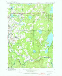
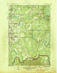
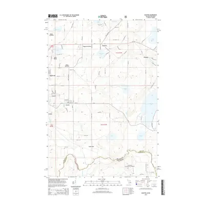
Historical Maps of Iron River Through Time
7 maps found