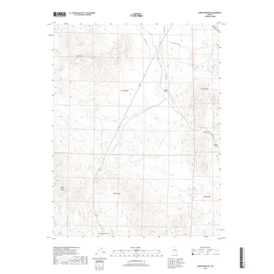
2018 Map of Gabbs Mountain
USGS Topo · Published 2018About this map
Gabbs Mtn and the Gabbs Valley Range dominate this arid landscape on the border of Nye and Mineral County. The terrain is defined by complex drainage systems such as Petrified Wash and Finger Rock Wash, which cut through the high desert toward the Stewart Valley. This 2018 survey reveals a territory primarily navigated via remote desert routes like Rawhide Rd and Fmc-Paradise Pk Rd, reflecting the area's ongoing importance for transit between isolated mountain ranges. Notable landmarks such as Petrified Summit and the singular Finger Rock provide essential orientation points in a region where water is a rare commodity, represented here by Petrified Spring. The map documents the persistent topography of the Great Basin, where land use remains tied to geology and intermittent water sources.
Find a feature on this map
17 named features on this map. Tap any name to fly to it.
Don’t see what you’re looking for? This feature index may not catch every label — zoom into the map to look around manually.
Map Details
Editions of this 2018 Gabbs Mountain Map
This is the sole edition of this map. No revisions or reprints were ever made.
Other maps of this area

1907 · Tonopah
USGS Topo · 1:250,000

1908 · Tonopah
USGS Topo · 1:250,000

1909 · Hawthorne
USGS Topo · 1:250,000

1911 · Hawthorne
USGS Topo · 1:250,000

1915 · Hawthorne
USGS Topo · 1:250,000

1948 · Paradise Peak
USGS Topo · 1:62,500

1948 · Walker Lake
USGS Topo · 1:250,000

1950 · Paradise Peak
USGS Topo · 1:62,500

1956 · Tonopah
USGS Topo · 1:250,000

1957 · Walker Lake
USGS Topo · 1:250,000