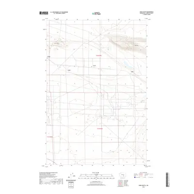
2020 Map of Gable Butte
USGS Topo · Published 2020About this map
Gable Butte and Gable Mtn dominate the northern landscape of this Benton County survey, rising significantly above the surrounding terrain in an area marked by a distinct grid of access roads and infrastructure. The map depicts a series of named points of interest including Susie, Ethel, Pearl, and Willa, which are positioned along the primary east-west corridors. This 2020 data captures a highly managed landscape, where the natural contours of the basalt buttes meet the structured development of the region. The detailed elevation work by the U.S. Geological Survey illustrates the sharp relief of these geological features against the broad, developed basins that characterize this portion of Washington. This topography reveals the intersection of natural volcanic landforms with modern land use patterns common to the Columbia Basin.
Find a feature on this map
9 named features on this map. Tap any name to fly to it.
Don’t see what you’re looking for? This feature index may not catch every label — zoom into the map to look around manually.
Map Details
Editions of this 2020 Gable Butte Map
This is the sole edition of this map. No revisions or reprints were ever made.
Other maps of this area

1915 · Prosser
USGS Topo · 1:125,000

1916 · Coyote Rapids
USGS Topo · 1:62,500

1917 · Pasco
USGS Topo · 1:125,000

1917 · Prosser
USGS Topo · 1:125,000

1924 · Hanford
USGS Topo · 1:62,500

1951 · Richland
USGS Topo · 1:62,500

1951 · Hanford
USGS Topo · 1:62,500

1951 · Corral Canyon
USGS Topo · 1:62,500

1951 · Coyote Rapids
USGS Topo · 1:62,500

1953 · Walla Walla
USGS Topo · 1:250,000