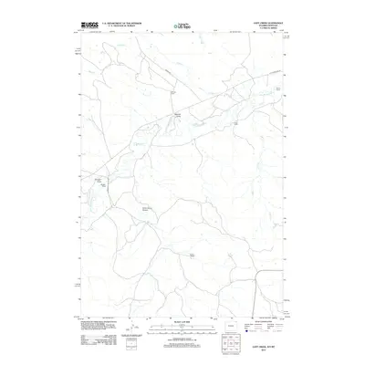
2012 Map of Gaff Creek
USGS Topo · Published 2012About this map
The Little Missouri River meanders across this high plains landscape at the Montana-Wyoming border, carving a path through a territory defined by remote ranching operations and complex drainages. Named family homesteads like Whitney Ranch, Harney Ranch, and Lobban Ranch anchor the map, illustrating the enduring cattle and sheep ranching culture of Carter County. The terrain is deeply textured by features such as Sawmill Draw and the prominent Government Canyon, which suggest the erosion patterns of this arid environment. Transportation is limited to rugged routes like Bariod Rd and Government Canyon Rd, which follow the natural contours of the land between water sources like Holben Cr and Gaff Cr. This survey captures the isolated character of the region as it remained in the early 21st century, where land use is dictated by the availability of water and the accessibility of the draws.
Find a feature on this map
16 named features on this map. Tap any name to fly to it.
Don’t see what you’re looking for? This feature index may not catch every label — zoom into the map to look around manually.
Map Details
Editions of this 2012 Gaff Creek Map
This is the sole edition of this map. No revisions or reprints were ever made.
Other maps of this area

1901 · Aladdin
USGS Topo · 1:125,000

1903 · Aladdin
USGS Topo · 1:125,000

1905 · Devils Tower
USGS Topo · 1:125,000

1954 · Strawberry Hill
USGS Topo · 1:24,000

1954 · Ekalaka
USGS Topo · 1:250,000

1954 · Gillette
USGS Topo · 1:250,000

1955 · Gillette
USGS Topo · 1:250,000

1956 · Ekalaka
USGS Topo · 1:250,000

1957 · Mona
USGS Topo · 1:62,500

1957 · Seely
USGS Topo · 1:62,500