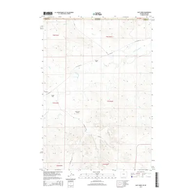
2015 Map of Gaff Creek
USGS Topo · Published 2015About this map
The Little Missouri River meanders across this northern high plains landscape, crossing the state line where Montana and Wyoming meet. This 2015 survey of the borderlands between Carter County and Crook County reveals a terrain defined by drainage patterns and cattle country infrastructure. The presence of the H L Reservoir and various named draws like Sawmill Draw and Scoggin Draw indicate the vital importance of water management in this arid ranching environment.
Find a feature on this map
23 named features on this map. Tap any name to fly to it.
Don’t see what you’re looking for? This feature index may not catch every label — zoom into the map to look around manually.
Map Details
Editions of this 2015 Gaff Creek Map
This is the sole edition of this map. No revisions or reprints were ever made.
Other maps of this area

1901 · Aladdin
USGS Topo · 1:125,000

1903 · Aladdin
USGS Topo · 1:125,000

1905 · Devils Tower
USGS Topo · 1:125,000

1954 · Strawberry Hill
USGS Topo · 1:24,000

1954 · Ekalaka
USGS Topo · 1:250,000

1954 · Gillette
USGS Topo · 1:250,000

1955 · Gillette
USGS Topo · 1:250,000

1956 · Ekalaka
USGS Topo · 1:250,000

1957 · Mona
USGS Topo · 1:62,500

1957 · Seely
USGS Topo · 1:62,500