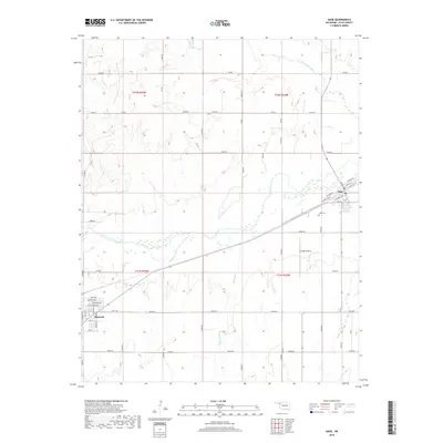
2018 Map of Gage
USGS Topo · Published 2018About this map
Shattuck and Gage anchor this Ellis County landscape, situated along a prominent transportation corridor in the Oklahoma panhandle region. The terrain is defined by the winding course of Wolf Cr, which flows eastward between the two primary settlements. The survey captures the organized grid of rural section roads, such as n1790 RD and e0490 RD, that facilitate movement across the agricultural plains. Significant local landmarks include the Gage Airport and Gage Cem, providing specific points of interest for genealogists and local historians. To the north, Twentyfive Mile Cr cuts through the high plains, while Willow Cr drains the southern portion of the quadrangle. The map reveals the street-level detail of Shattuck's eastern edge and the full layout of Gage, including residential streets like Cedar ST and E North St.
Find a feature on this map
57 named features on this map. Tap any name to fly to it.
Don’t see what you’re looking for? This feature index may not catch every label — zoom into the map to look around manually.
Map Details
Editions of this 2018 Gage Map
This is the sole edition of this map. No revisions or reprints were ever made.
Other maps of this area

1955 · Woodward
USGS Topo · 1:250,000

1958 · Woodward
USGS Topo · 1:250,000

1969 · Fargo SW
USGS Topo · 1:24,000

1969 · Fargo NW
USGS Topo · 1:24,000

1969 · Shattuck
USGS Topo · 1:24,000

1969 · Shattuck NW
USGS Topo · 1:24,000

1969 · Gage
USGS Topo · 1:24,000

1969 · Shattuck NE
USGS Topo · 1:24,000

1970 · Arnett
USGS Topo · 1:24,000

1970 · Goodwin
USGS Topo · 1:24,000