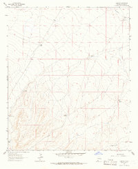
1963 Map of Gage SE
USGS Topo · Published 1966About this map
Arid grazing land and ephemeral drainage patterns define this Luna County landscape, where the distribution of water sources shaped the movement of people and livestock in the early 1960s. The small settlement of Palomas sits in the northeast, while the rest of the quadrangle is punctuated by essential ranching infrastructure. A series of named wells, including Klondike Windmill, Big Windmill, and Halfway Windmill, reveal the reliance on groundwater to sustain life in this high desert environment.
Find a feature on this map
13 named features on this map. Tap any name to fly to it.
Don’t see what you’re looking for? This feature index may not catch every label — zoom into the map to look around manually.
Map Details
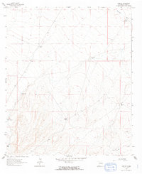
Editions of this 1963 Gage SE Map
2 editions found
Other maps of this area

1899 · Deming
USGS Topo · 1:125,000

1915 · Deming
USGS Topo · 1:125,000

1917 · Hermanas
USGS Topo · 1:62,500

1918 · Hermanas
USGS Topo · 1:62,500

1918 · Victorio
USGS Topo · 1:62,500

1943 · Hermanas
USGS Topo · 1:62,500

1953 · El Paso
USGS Topo · 1:250,000

1954 · Silver City
USGS Topo · 1:250,000

1955 · Douglas
USGS Topo · 1:250,000

1955 · Las Cruces
USGS Topo · 1:250,000