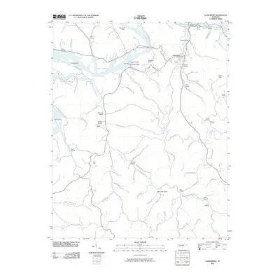
2010 Map of Gainesboro
USGS Topo · Published 2010About this map
Gainesboro stands as the primary hub in this Jackson County landscape, situated near the confluence of the Roaring River and the sweeping waters of Cordell Hull Reservoir. The 2010 terrain is defined by a dense network of hollows and ridges, many bearing the names of early local families, including Gibson Hollow, Haile Hollow, and Peters Hollow. Historical river crossings and river-dependent commerce are evident at Fort Blount Ferry and the various landings along the shore, such as Gainesboro Landing and Dycus Landing.
Find a feature on this map
92 named features on this map. Tap any name to fly to it.
Don’t see what you’re looking for? This feature index may not catch every label — zoom into the map to look around manually.
Map Details
Editions of this 2010 Gainesboro Map
This is the sole edition of this map. No revisions or reprints were ever made.
Other maps of this area

1925 · Gainesboro
USGS Topo · 1:62,500

1928 · Gordonsville
USGS Topo · 1:62,500

1929 · Gainesboro
USGS Topo · 1:62,500

1932 · Carthage
USGS Topo · 1:62,500

1942 · Statesville
USGS Topo · 1:100,000

1943 · Cookeville
USGS Topo · 1:100,000

1944 · Cookeville
USGS Topo · 1:100,000

1953 · Cookeville West
USGS Topo · 1:24,000

1955 · Baxter
USGS Topo · 1:24,000

1956 · Corbin
USGS Topo · 1:250,000