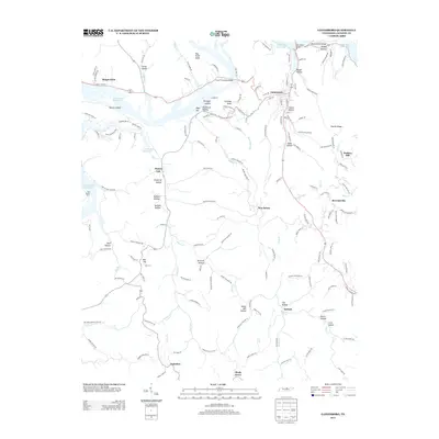
2013 Map of Gainesboro
USGS Topo · Published 2013About this map
The Cordell Hull Reservoir dominates the northern landscape of this Jackson County region, where the Cumberland River valley is defined by deep hollows and high knobs. Gainesboro sits as the primary hub, connected by the Frank G Clement Bridge and Gainesboro Bridge over the reservoir's wide reaches. The topography here is intricate, with numerous family-named and descriptive landmarks such as Pinchgut Hollow, Poorhouse Hollow, and Shakerag Hollow tucked between the ridges.
Find a feature on this map
51 named features on this map. Tap any name to fly to it.
Don’t see what you’re looking for? This feature index may not catch every label — zoom into the map to look around manually.
Map Details
Editions of this 2013 Gainesboro Map
This is the sole edition of this map. No revisions or reprints were ever made.
Other maps of this area

1925 · Gainesboro
USGS Topo · 1:62,500

1928 · Gordonsville
USGS Topo · 1:62,500

1929 · Gainesboro
USGS Topo · 1:62,500

1932 · Carthage
USGS Topo · 1:62,500

1942 · Statesville
USGS Topo · 1:100,000

1943 · Cookeville
USGS Topo · 1:100,000

1944 · Cookeville
USGS Topo · 1:100,000

1953 · Cookeville West
USGS Topo · 1:24,000

1955 · Baxter
USGS Topo · 1:24,000

1956 · Corbin
USGS Topo · 1:250,000