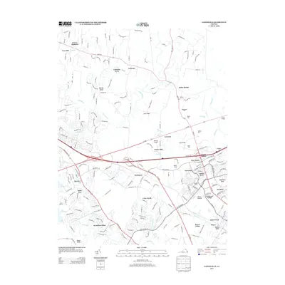
2013 Map of Gainesville
USGS Topo · Published 2013About this map
Stepney Plantation and Snow Hill sit at the northern edge of this landscape, where the terrain begins to rise toward the prominent Stony Ridge. This 2013 survey of the area near Gainesville reflects a complex overlay of modern residential development atop a deeply storied geography. Significant elevations such as Henry Hill, Matthews Hill, and Chinn Ridge define the local topography, alongside the named slopes of the Zouave Hills and Battery Heights. The drainage network is anchored by Bull Run and Broad Run, with the expansive Lake Manassas and Lakeview neighborhood marking the western transition. Modern residential clusters like Carlyle Station, Broad Run Village, and Country Scene have filled the spaces between traditional agricultural holdings like Catharpin Farms and Sunrise Hill Farm, illustrating the rapid suburbanization that has transformed this part of Prince William County while preserving the nomenclature of its earlier landholdings.
Find a feature on this map
188 named features on this map. Tap any name to fly to it.
Don’t see what you’re looking for? This feature index may not catch every label — zoom into the map to look around manually.
Map Details
Editions of this 2013 Gainesville Map
This is the sole edition of this map. No revisions or reprints were ever made.
Other maps of this area

1890 · Mt. Vernon
USGS Topo · 1:125,000

1891 · Mt. Vernon
USGS Topo · 1:125,000

1894 · Warrenton
USGS Topo · 1:125,000

1894 · Mt. Vernon
USGS Topo · 1:125,000

1897 · Mt. Vernon
USGS Topo · 1:125,000

1915 · Fairfax
USGS Topo · 1:62,500

1927 · Quantico
USGS Topo · 1:62,500

1933 · Middleburg
USGS Topo · 1:62,500

1940 · Quantico
USGS Topo · 1:62,500

1943 · Quantico
USGS Topo · 1:62,500