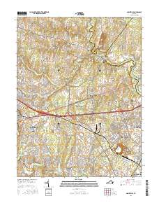
2016 Map of Gainesville
USGS Topo · Published 2016About this map
Manassas National Battlefield Park dominates the central landscape of this northern Virginia survey, preserving the terrain of critical Civil War engagements. The topography is marked by significant high ground including Henry Hill, Matthews Hill, Chinn Ridge, and Battery Heights, which dictate the flow of modern roadways and local development. Settlement patterns show the evolution from historic hamlets like Groveton and Sudley Springs to the modern expansion of Gainesville and Linton Hall. The map reveals a high density of ancestral sites for genealogists, featuring the Taliaferro Carter Family Cem, Pittsylvania Cem, and the Groveton Confederate Cem. Educational growth is evidenced by the Northern Virginia Community College Manassas Campus and the George Mason University Prince William Campus, while the eastern edge follows the winding course of Bull Run toward the iconic Stone Bridge.
Find a feature on this map
222 named features on this map. Tap any name to fly to it.
Don’t see what you’re looking for? This feature index may not catch every label — zoom into the map to look around manually.
Map Details
Editions of this 2016 Gainesville Map
This is the sole edition of this map. No revisions or reprints were ever made.
Other maps of this area

1890 · Mt. Vernon
USGS Topo · 1:125,000

1891 · Mt. Vernon
USGS Topo · 1:125,000

1894 · Warrenton
USGS Topo · 1:125,000

1894 · Mt. Vernon
USGS Topo · 1:125,000

1897 · Mt. Vernon
USGS Topo · 1:125,000

1915 · Fairfax
USGS Topo · 1:62,500

1927 · Quantico
USGS Topo · 1:62,500

1933 · Middleburg
USGS Topo · 1:62,500

1940 · Quantico
USGS Topo · 1:62,500

1943 · Quantico
USGS Topo · 1:62,500