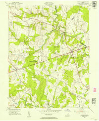
1953 Map of Gainesville
USGS Topo · Published 1954About this map
The Manassas National Battlefield Park dominates this mid-century landscape, preserving the geography of one of the Civil War's most significant conflicts. Grounded in a 1943 aerial survey and updated in the early 1950s, the map reveals the intersection of American memory and rural Virginia life. Significant historical landmarks such as the Henry House, the Stone Bridge, and the Groveton Confederate Cem are clearly marked amidst the wooded terrain of Stony Ridge and Bald Hill.
Find a feature on this map
46 named features on this map. Tap any name to fly to it.
Don’t see what you’re looking for? This feature index may not catch every label — zoom into the map to look around manually.
Map Details
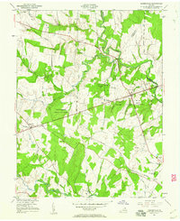
Editions of this 1953 Gainesville Map
2 editions found
Other maps of this area

1890 · Mt. Vernon
USGS Topo · 1:125,000

1891 · Mt. Vernon
USGS Topo · 1:125,000

1894 · Warrenton
USGS Topo · 1:125,000

1894 · Mt. Vernon
USGS Topo · 1:125,000

1897 · Mt. Vernon
USGS Topo · 1:125,000

1915 · Fairfax
USGS Topo · 1:62,500

1927 · Quantico
USGS Topo · 1:62,500

1933 · Middleburg
USGS Topo · 1:62,500

1940 · Quantico
USGS Topo · 1:62,500

1943 · Quantico
USGS Topo · 1:62,500