Loading...
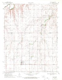
Loading map...1969 Map of Galatia
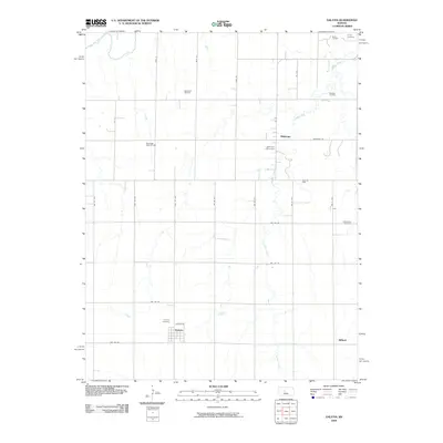
USGS Topo · Published 1971About this map
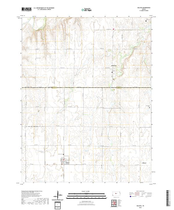
Galatia and Milberger anchor this late-1960s Kansas landscape, a region defined by a grid of townships including Fairview, Wheatland, and Winterset. The terrain transition is marked by the Smoky Hill River in the northwest and the winding course of Landon Creek. This map reveals a significant mid-century energy economy, with several extensive oil operations such as the Roseveelt Oil Field, Boxberger West Oil Field, and Strickler Oil Field dotting the plains.
Find a feature on this map
23 named features on this map. Tap any name to fly to it.
Don’t see what you’re looking for? This feature index may not catch every label — zoom into the map to look around manually.
Map Details
Date Portrayed1969
Date Published1971
PublisherU.S. Geological Survey
Map TypeTopographic
Scale1:24,000
Physical Dimensions20.99 x 26.99 inches
Editions of this 1969 Galatia Map
This is the sole edition of this map. No revisions or reprints were ever made.
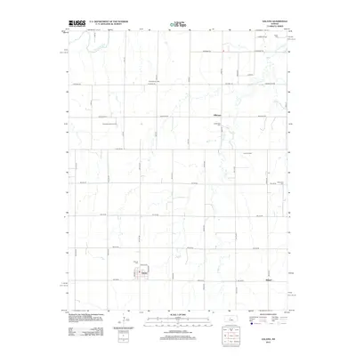
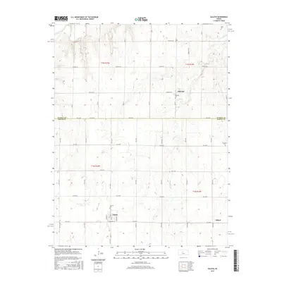
Historical Maps of Galatia Through Time
6 maps found
Featured Locations
Source Details
SourceU.S. Geological Survey
CopyrightPublic Domain