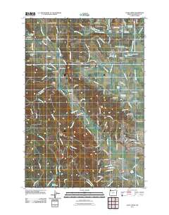
2011 Map of Gales Creek
USGS Topo · Published 2011About this map
Forest Grove serves as the eastern anchor for this 2011 survey, where the rolling foothills of the Coast Range meet the agricultural valley floor. The map highlights a series of small, long-established communities including Balm Grove, Watts, and the namesake Gales Creek, where the Gales Creek Post Office remains a focal point for the rural population. The landscape is defined by the complex water system flowing toward the Tualatin Valley, including the Lousignont Canal and the northern reaches of Henry Hagg Lake. For those tracing local family histories, the map identifies several burial grounds such as the Hillside Cemetery, Purdin Cemetery, and the Mountain View Memorial Gardens. To the west, the terrain rises significantly toward Gales Peak, with numerous creeks like Thomas Creek and Cedar Canyon Creek carving through the timbered uplands.
Find a feature on this map
112 named features on this map. Tap any name to fly to it.
Don’t see what you’re looking for? This feature index may not catch every label — zoom into the map to look around manually.
Map Details
Editions of this 2011 Gales Creek Map
This is the sole edition of this map. No revisions or reprints were ever made.
Other maps of this area

1941 · Timber
USGS Topo · 1:62,500

1941 · Gales Creek
USGS Topo · 1:62,500

1941 · Yamhill
USGS Topo · 1:62,500

1942 · Yamhill
USGS Topo · 1:62,500

1942 · Fairdale
USGS Topo · 1:62,500

1948 · Vancouver
USGS Topo · 1:250,000

1950 · Vancouver
USGS Topo · 1:250,000

1950 · Vancouver
USGS Topo · 1:250,000

1955 · Timber
USGS Topo · 1:62,500

1955 · Fairdale
USGS Topo · 1:62,500