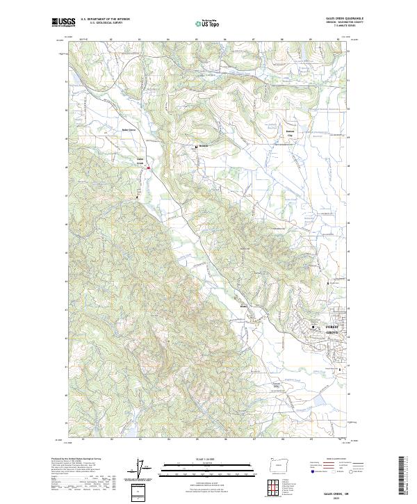
2023 Map of Gales Creek
USGS Topo · Published 2023About this map
Forest Grove anchors the southeast corner of this landscape, where the urban grid meets the agricultural and timbered slopes of the Coast Range foothills. The namesake Gales Creek winds through the center of the sheet, connecting several small rural communities including Gales Creek village, Hillside, Kansas City, and Watts. This drainage system is defined by a dense network of tributaries like Roderick Creek, Kelly Creek, and Scoggin Creek that flow from the higher elevations of Gales Peak and David Hill.
Find a feature on this map
126 named features on this map. Tap any name to fly to it.
Don’t see what you’re looking for? This feature index may not catch every label — zoom into the map to look around manually.
Map Details
Editions of this 2023 Gales Creek Map
This is the sole edition of this map. No revisions or reprints were ever made.
Other maps of this area

1941 · Timber
USGS Topo · 1:62,500

1941 · Gales Creek
USGS Topo · 1:62,500

1941 · Yamhill
USGS Topo · 1:62,500

1942 · Yamhill
USGS Topo · 1:62,500

1942 · Fairdale
USGS Topo · 1:62,500

1948 · Vancouver
USGS Topo · 1:250,000

1950 · Vancouver
USGS Topo · 1:250,000

1950 · Vancouver
USGS Topo · 1:250,000

1955 · Timber
USGS Topo · 1:62,500

1955 · Fairdale
USGS Topo · 1:62,500