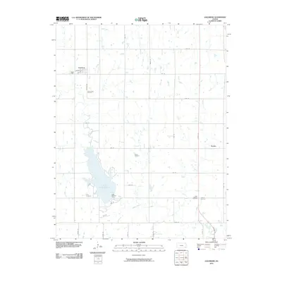
2010 Map of Galesburg
USGS Topo · Published 2010About this map
Lake Parsons dominates the southwestern quadrant of this Labette County landscape, serving as a central geographical marker in an area defined by agricultural grid lines and quiet rural settlements. The town of Galesburg sits to the northwest, organized around Main St and Chestnut St, while the smaller locale of Hayden appears to the east along Ottawa Rd. This 2010 survey reflects a region deeply connected to its local history through numerous burial grounds scattered across the countryside, including Mount Hope Cemetery, Valley Cemetery, and the dual sites of West Bethany Cemetery and Bethany Cemetery. Waterways like Ogeese Creek and Labette Creek weave through the sectioned farmland, controlled in part by the Lake Parsons Dam. The map provides a clear record of the local road network, from named routes like Kingman Rd and Kiowa Rd to the strictly numbered grid of the Kansas plains.
Find a feature on this map
34 named features on this map. Tap any name to fly to it.
Don’t see what you’re looking for? This feature index may not catch every label — zoom into the map to look around manually.
Map Details
Editions of this 2010 Galesburg Map
This is the sole edition of this map. No revisions or reprints were ever made.
Other maps of this area

1886 · Iola
USGS Topo · 1:125,000

1886 · Parsons
USGS Topo · 1:125,000

1893 · Iola
USGS Topo · 1:125,000

1893 · Parsons
USGS Topo · 1:125,000

1904 · Iola
USGS Topo · 1:125,000

1943 · McCune
USGS Topo · 1:62,500

1945 · Mc Cune
USGS Topo · 1:62,500

1945 · Parsons
USGS Topo · 1:62,500

1946 · Parsons
USGS Topo · 1:62,500

1947 · Parsons
USGS Topo · 1:62,500