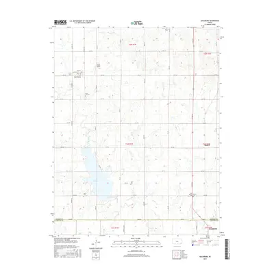
2015 Map of Galesburg
USGS Topo · Published 2015About this map
Lake Parsons dominates the central landscape of this rural Kansas survey, where the boundaries of Neosho and Labette counties meet. The small community of Galesburg sits to the northwest, defined by a grid of streets including Main St and Walnut St. The surrounding countryside is marked by a deep-rooted network of small cemeteries, reflecting the generational history of this agricultural region. Genealogists and local historians can find the locations of Mount Hope Cem, Valley Cem, and Ladore Cem, along with the neighboring West Bethany Cem and Bethany Cem near the eastern edge. This area, largely defined by the drainage of Labette Cr and Ogeese Cr, maintains its mid-century rural character into the 2010s, evidenced by landmarks like the White Farms Airport north of the Galesburg townsite.
Find a feature on this map
44 named features on this map. Tap any name to fly to it.
Don’t see what you’re looking for? This feature index may not catch every label — zoom into the map to look around manually.
Map Details
Editions of this 2015 Galesburg Map
This is the sole edition of this map. No revisions or reprints were ever made.
Other maps of this area

1886 · Iola
USGS Topo · 1:125,000

1886 · Parsons
USGS Topo · 1:125,000

1893 · Iola
USGS Topo · 1:125,000

1893 · Parsons
USGS Topo · 1:125,000

1904 · Iola
USGS Topo · 1:125,000

1943 · McCune
USGS Topo · 1:62,500

1945 · Mc Cune
USGS Topo · 1:62,500

1945 · Parsons
USGS Topo · 1:62,500

1946 · Parsons
USGS Topo · 1:62,500

1947 · Parsons
USGS Topo · 1:62,500