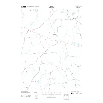
2013 Map of Galilee
USGS Topo · Published 2013About this map
The rolling dairy and timber lands of Wayne County are captured here in the early 21st century, centered on the historic crossroads of Galilee and Rileyville. The landscape is defined by the complex hydrology of the northern Delaware River watershed, where the N Br Calkins Cr and S Br Calkins Cr wind through a network of glacial water bodies like Duck Harbor Pond and Upper Wilcox Pond. Settled hamlets such as Girdland and West Damascus appear as clusters of activity along a road network that includes the historic Oregon Tpke, reflecting the area's transition from early carriage routes to modern local connectors. To the south, Boyds Mills and Torrey mark the lower reaches of the Calkins drainage, while Camp Chicopee stands as a notable landmark of the region's long-standing recreational and summer camp tradition.
Find a feature on this map
97 named features on this map. Tap any name to fly to it.
Don’t see what you’re looking for? This feature index may not catch every label — zoom into the map to look around manually.
Map Details
Editions of this 2013 Galilee Map
This is the sole edition of this map. No revisions or reprints were ever made.
Other maps of this area

1892 · Honesdale
USGS Topo · 1:62,500

1920 · Long Eddy
USGS Topo · 1:62,500

1920 · Damascus
USGS Topo · 1:62,500

1921 · Long Eddy
USGS Topo · 1:48,000

1923 · Damascus
USGS Topo · 1:62,500

1923 · Long Eddy
USGS Topo · 1:62,500

1926 · Starrucca
USGS Topo · 1:62,500

1930 · Starrucca
USGS Topo · 1:48,000

1933 · Starrucca
USGS Topo · 1:62,500

1943 · Honesdale
USGS Topo · 1:125,000