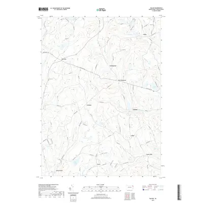
2019 Map of Galilee
USGS Topo · Published 2019About this map
Galilee and the surrounding rural townships of Wayne County are defined by a dense network of mountain brooks and small glacial ponds. The landscape is interconnected by a series of historic thoroughfares, including the Great Bend Tpke, Cochecton Tpke, and Oregon Tpke, which converge near the settlement of Rileyville. These routes reflect the area's history as a transit corridor between the Delaware River valley and the interior highlands.
Find a feature on this map
91 named features on this map. Tap any name to fly to it.
Don’t see what you’re looking for? This feature index may not catch every label — zoom into the map to look around manually.
Map Details
Editions of this 2019 Galilee Map
This is the sole edition of this map. No revisions or reprints were ever made.
Other maps of this area

1892 · Honesdale
USGS Topo · 1:62,500

1920 · Long Eddy
USGS Topo · 1:62,500

1920 · Damascus
USGS Topo · 1:62,500

1921 · Long Eddy
USGS Topo · 1:48,000

1923 · Damascus
USGS Topo · 1:62,500

1923 · Long Eddy
USGS Topo · 1:62,500

1926 · Starrucca
USGS Topo · 1:62,500

1930 · Starrucca
USGS Topo · 1:48,000

1933 · Starrucca
USGS Topo · 1:62,500

1943 · Honesdale
USGS Topo · 1:125,000