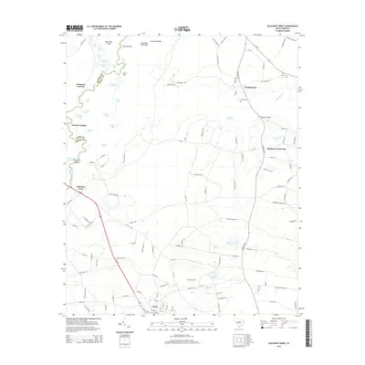
2014 Map of Galivants Ferry
USGS Topo · Published 2014About this map
The Little Pee Dee River defines the western boundary of this South Carolina landscape, meandering through a complex network of wetlands and riverine features. Notable island and bend names like Bear Knot Island, Devils Elbow, and Pee Dee Island indicate the shifting nature of the river's course over time. The eastern banks are marked by historically significant points of river access including Cartwheel Landing, Polecat Landing, and the namesake Galivants Ferry.
Find a feature on this map
129 named features on this map. Tap any name to fly to it.
Don’t see what you’re looking for? This feature index may not catch every label — zoom into the map to look around manually.
Map Details
Editions of this 2014 Galivants Ferry Map
This is the sole edition of this map. No revisions or reprints were ever made.
Other maps of this area

1943 · Adrian
USGS Topo · 1:24,000

1943 · Horry
USGS Topo · 1:24,000

1944 · Adrian
USGS Topo · 1:31,680

1946 · Johnsonville
USGS Topo · 1:62,500

1946 · Mullins
USGS Topo · 1:24,000

1947 · Centenary
USGS Topo · 1:24,000

1947 · Mullins
USGS Topo · 1:24,000

1948 · Galivants Ferry
USGS Topo · 1:24,000

1948 · Nichols
USGS Topo · 1:24,000

1948 · Bayboro
USGS Topo · 1:24,000