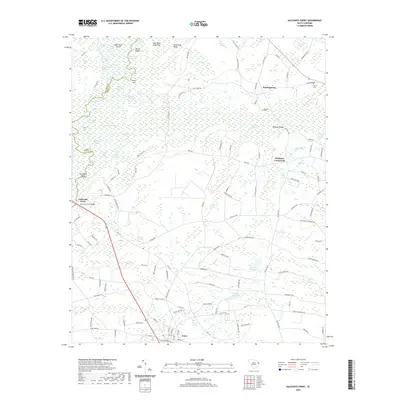
2020 Map of Galivants Ferry
USGS Topo · Published 2020About this map
Galivants Ferry sits at a historic crossing of the Little Pee Dee River, marking the boundary where Marion and Horry counties meet. This low-lying landscape is defined by an intricate network of cypress swamps and pocket lakes, including Jack Lake, Gator Lake, and Smokey Lake. The terrain transitions from the wetland margins of River Swamp to unique sandy formations like the Half Moon Sand Hills and Long Sand Ridge.
Find a feature on this map
140 named features on this map. Tap any name to fly to it.
Don’t see what you’re looking for? This feature index may not catch every label — zoom into the map to look around manually.
Map Details
Editions of this 2020 Galivants Ferry Map
This is the sole edition of this map. No revisions or reprints were ever made.
Other maps of this area

1943 · Adrian
USGS Topo · 1:24,000

1943 · Horry
USGS Topo · 1:24,000

1944 · Adrian
USGS Topo · 1:31,680

1946 · Johnsonville
USGS Topo · 1:62,500

1946 · Mullins
USGS Topo · 1:24,000

1947 · Centenary
USGS Topo · 1:24,000

1947 · Mullins
USGS Topo · 1:24,000

1948 · Galivants Ferry
USGS Topo · 1:24,000

1948 · Nichols
USGS Topo · 1:24,000

1948 · Bayboro
USGS Topo · 1:24,000