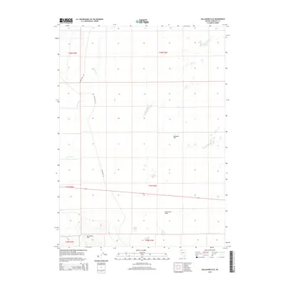
2015 Map of Gallagher Flat
USGS Topo · Published 2015About this map
The Quinn River meanders through the arid expanse of northern Nevada, carving a path through the Silver State Valley. This 2015 survey illustrates a vast basin landscape dominated by alkaline terrain and seasonal water patterns. To the south, the topography rises into the Slumbering Hills, while the central portion of the sheet is marked by the distinct catchment of Gallagher Flat. These features reveal the hydrologic character of the Great Basin, where internal drainage creates large playas. The presence of River Ranch Rd and Riverside Ranch Rd suggests the continued importance of ranching access in this sparsely populated region, connecting the lowlands with the higher elevations of the surrounding ranges.
Find a feature on this map
12 named features on this map. Tap any name to fly to it.
Don’t see what you’re looking for? This feature index may not catch every label — zoom into the map to look around manually.
Map Details
Editions of this 2015 Gallagher Flat Map
This is the sole edition of this map. No revisions or reprints were ever made.
Other maps of this area

1882 · Paradise
USGS Topo · 1:250,000

1886 · Disaster
USGS Topo · 1:250,000

1893 · Paradise
USGS Topo · 1:250,000

1893 · Disaster
USGS Topo · 1:250,000

1954 · Vya
USGS Topo · 1:250,000

1955 · McDermitt
USGS Topo · 1:250,000

1958 · Vya
USGS Topo · 1:250,000

1958 · Awakening Peak
USGS Topo · 1:62,500

1959 · McDermitt
USGS Topo · 1:250,000

1959 · Orovada
USGS Topo · 1:62,500