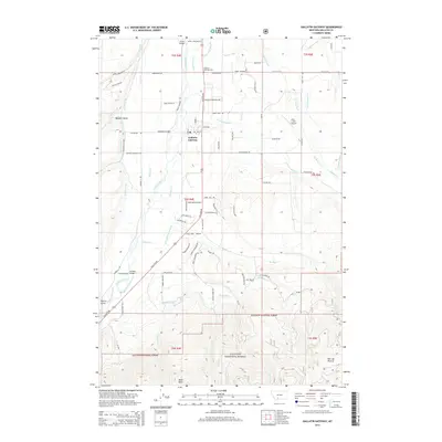
2014 Map of Gallatin Gateway
USGS Topo · Published 2014About this map
The Gallatin River serves as the central artery for this Gallatin County landscape, which transitions from irrigated valley floors to the high elevations of the Gallatin National Forest. Near the settlement of Gallatin Gateway, an intricate web of water management infrastructure—including the Highline Canal, Farmers Canal, and Bush Etherington Ditch—reveals the intensive agricultural development of the region. The map documents essential crossings like Williams Bridge and Axtell Bridge, which connect the scattered rural homesteads to the primary thoroughfares.
Find a feature on this map
89 named features on this map. Tap any name to fly to it.
Don’t see what you’re looking for? This feature index may not catch every label — zoom into the map to look around manually.
Map Details
Editions of this 2014 Gallatin Gateway Map
This is the sole edition of this map. No revisions or reprints were ever made.
Other maps of this area

1888 · Three Forks
USGS Topo · 1:250,000

1894 · Three Forks
USGS Topo · 1:250,000

1895 · Three Forks
USGS Topo · 1:250,000

1947 · Bozeman
USGS Topo · 1:250,000

1948 · Bozeman
USGS Topo · 1:250,000

1949 · Anceney
USGS Topo · 1:62,500

1950 · Spanish Peaks
USGS Topo · 1:62,500

1953 · Bozeman
USGS Topo · 1:62,500

1955 · Bozeman
USGS Topo · 1:250,000

1955 · Garnet Mountain
USGS Topo · 1:62,500