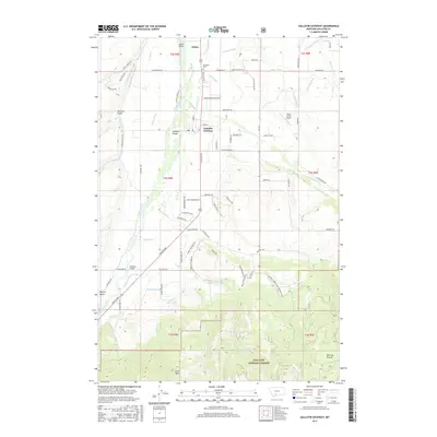
2017 Map of Gallatin Gateway
USGS Topo · Published 2017About this map
Gallatin Gateway and the surrounding valley in Gallatin County are defined by a complex network of agricultural irrigation and the transition into high-elevation wilderness. The Gallatin River serves as the central axis of the landscape, crossed by landmarks such as the Axtell Bridge, Gateway Bridges, and Williams Bridge. North of the settlement, the Salesville Cem stands as a significant point for genealogists, while the presence of the Briar Creek Airport reflects the area's modern infrastructure.
Find a feature on this map
93 named features on this map. Tap any name to fly to it.
Don’t see what you’re looking for? This feature index may not catch every label — zoom into the map to look around manually.
Map Details
Editions of this 2017 Gallatin Gateway Map
This is the sole edition of this map. No revisions or reprints were ever made.
Other maps of this area

1888 · Three Forks
USGS Topo · 1:250,000

1894 · Three Forks
USGS Topo · 1:250,000

1895 · Three Forks
USGS Topo · 1:250,000

1947 · Bozeman
USGS Topo · 1:250,000

1948 · Bozeman
USGS Topo · 1:250,000

1949 · Anceney
USGS Topo · 1:62,500

1950 · Spanish Peaks
USGS Topo · 1:62,500

1953 · Bozeman
USGS Topo · 1:62,500

1955 · Bozeman
USGS Topo · 1:250,000

1955 · Garnet Mountain
USGS Topo · 1:62,500