1987 Map of Gallatin Gateway
USGS Topo · Published 1988About this map
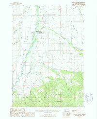
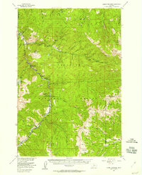
Gallatin Gateway serves as the focal point for this landscape, where the braided channels of the Gallatin River meet an extensive network of irrigation infrastructure. The map reveals the intricate engineering of the valley, featuring the Farmers Canal, West Gallatin Canal, and numerous smaller ditches like the Armstrong Safely Ditch and Highline Cockrell Ditch. These waterways support the agricultural flats north of the Gallatin National Forest boundary, where local landmarks such as Axtell Bridge and the Cottonwood Sch appear.
Find a feature on this map
41 named features on this map. Tap any name to fly to it.
Don’t see what you’re looking for? This feature index may not catch every label — zoom into the map to look around manually.
Map Details
Editions of this 1987 Gallatin Gateway Map
This is the sole edition of this map. No revisions or reprints were ever made.
Other maps of this area

1888 · Three Forks
USGS Topo · 1:250,000

1894 · Three Forks
USGS Topo · 1:250,000

1895 · Three Forks
USGS Topo · 1:250,000

1947 · Bozeman
USGS Topo · 1:250,000

1948 · Bozeman
USGS Topo · 1:250,000
1949 · Anceney
USGS Topo · 1:62,500
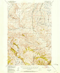
1950 · Spanish Peaks
USGS Topo · 1:62,500
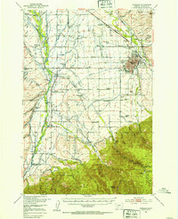
1953 · Bozeman
USGS Topo · 1:62,500

1955 · Bozeman
USGS Topo · 1:250,000
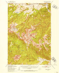
1955 · Garnet Mountain
USGS Topo · 1:62,500