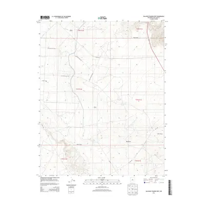
2013 Map of Gallegos Trading Post
USGS Topo · Published 2013About this map
Gallegos Trading Post and the small settlement of Huerfano anchor this 2013 survey of the high desert landscape in San Juan County. The map documents a sparsely populated region defined by essential water sources and the infrastructure of the Eastern Navajo Agency. Vital landmarks for local navigation and ranching operations are clearly marked, including the Gallegos Windmill, McKay Windmill, and Pete Spring.
Find a feature on this map
21 named features on this map. Tap any name to fly to it.
Don’t see what you’re looking for? This feature index may not catch every label — zoom into the map to look around manually.
Map Details
Editions of this 2013 Gallegos Trading Post Map
This is the sole edition of this map. No revisions or reprints were ever made.
Other maps of this area

1889 · Largo
USGS Topo · 1:250,000

1889 · Chaco
USGS Topo · 1:250,000

1892 · Chaco
USGS Topo · 1:250,000

1895 · Largo
USGS Topo · 1:250,000

1954 · Shiprock
USGS Topo · 1:250,000

1954 · Aztec
USGS Topo · 1:250,000

1958 · Shiprock
USGS Topo · 1:250,000

1958 · Aztec
USGS Topo · 1:250,000

1959 · Shiprock
USGS Topo · 1:250,000

1960 · Bloomfield
USGS Topo · 1:62,500
Featured Places
- Eastern Navajo Agency, NM
- Teeł Sikaad, Eastern Navajo Agency
- Huerfano, Eastern Navajo Agency
- San Juan County, NM
- United States