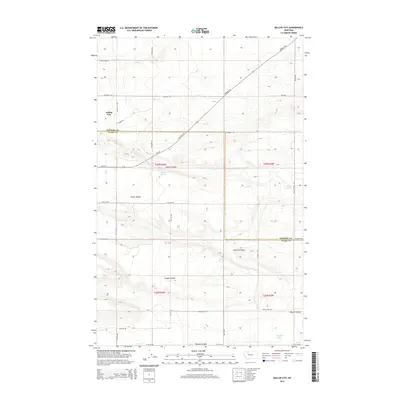
2014 Map of Gallup City
USGS Topo · Published 2014About this map
Gallup City sits at the northern edge of the Teton and Pondera county line, serving as a focal point for an area defined by its energy infrastructure and natural drainage. This 2014 survey reveals an extensive grid of service roads such as Oilfield Rd, Black Gold Rd, and Field Rd, indicating the deep ties between the local economy and the oil and gas industry. The land rises toward the Porter Bench, while a series of coulees and springs provide critical water sources in an otherwise arid landscape.
Find a feature on this map
37 named features on this map. Tap any name to fly to it.
Don’t see what you’re looking for? This feature index may not catch every label — zoom into the map to look around manually.
Map Details
Editions of this 2014 Gallup City Map
This is the sole edition of this map. No revisions or reprints were ever made.
Other maps of this area

1886 · Great Falls
USGS Topo · 1:250,000

1920 · Choteau
USGS Topo · 1:125,000

1920 · Dupuyer
USGS Topo · 1:125,000

1920 · Conrad
USGS Topo · 1:125,000

1938 · Gallup City
USGS Topo · 1:62,500

1942 · Gallup City
USGS Topo · 1:62,500

1950 · Collins
USGS Topo · 1:62,500

1954 · Great Falls
USGS Topo · 1:250,000

1954 · Shelby
USGS Topo · 1:250,000

1955 · Choteau
USGS Topo · 1:250,000