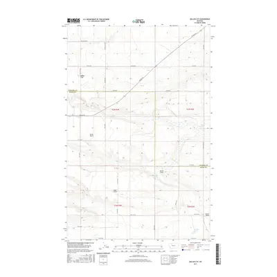
2017 Map of Gallup City
USGS Topo · Published 2017About this map
Gallup City sits at the intersection of a sprawling rural road network and industrial oil fields on the high plains of the Pondera and Teton County line. This landscape is defined by its agricultural and extractive identity, with roads like Oilfield Rd, Field Rd, and Black Gold Rd tracing the commercial priorities of the region. The terrain is marked by distinctive geological features including the broad Porter Bench and a series of drainage depressions such as Kropp Coulee, Aldrich Coulee, and Maucki Coulee. Water sources are sparse but critical in this environment, evidenced by the inclusion of Eyraud Lakes and named points like Healy Spring, Aldrich Spring, and Noble Spring. The survey illustrates the grid-based settlement pattern and the persistent influence of the energy industry on the Montana landscape during the early twenty-first century.
Find a feature on this map
34 named features on this map. Tap any name to fly to it.
Don’t see what you’re looking for? This feature index may not catch every label — zoom into the map to look around manually.
Map Details
Editions of this 2017 Gallup City Map
This is the sole edition of this map. No revisions or reprints were ever made.
Other maps of this area

1886 · Great Falls
USGS Topo · 1:250,000

1920 · Choteau
USGS Topo · 1:125,000

1920 · Dupuyer
USGS Topo · 1:125,000

1920 · Conrad
USGS Topo · 1:125,000

1938 · Gallup City
USGS Topo · 1:62,500

1942 · Gallup City
USGS Topo · 1:62,500

1950 · Collins
USGS Topo · 1:62,500

1954 · Great Falls
USGS Topo · 1:250,000

1954 · Shelby
USGS Topo · 1:250,000

1955 · Choteau
USGS Topo · 1:250,000