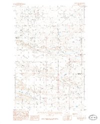
1985 Map of Gallup City
USGS Topo · Published 1986About this map
Gallup City and its surrounding Oil Field dominate this mid-1980s landscape at the boundary of Pondera and Teton counties. The area is defined by a series of dramatic coulees, including Aldrich Coulee, Kropp Coulee, and Maucki Coulee, which carve through the high ground of Porter Bench and Gopher Ridge. Evidence of early industrial and agricultural infrastructure is prevalent, from the Sub Station and several gravel pits to the vital Bynum Canal in the south.
Find a feature on this map
15 named features on this map. Tap any name to fly to it.
Don’t see what you’re looking for? This feature index may not catch every label — zoom into the map to look around manually.
Map Details
Editions of this 1985 Gallup City Map
This is the sole edition of this map. No revisions or reprints were ever made.
Other maps of this area

1886 · Great Falls
USGS Topo · 1:250,000

1920 · Choteau
USGS Topo · 1:125,000

1920 · Dupuyer
USGS Topo · 1:125,000

1920 · Conrad
USGS Topo · 1:125,000

1938 · Gallup City
USGS Topo · 1:62,500

1942 · Gallup City
USGS Topo · 1:62,500

1950 · Collins
USGS Topo · 1:62,500

1954 · Great Falls
USGS Topo · 1:250,000

1954 · Shelby
USGS Topo · 1:250,000

1955 · Choteau
USGS Topo · 1:250,000