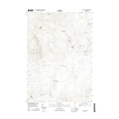
2015 Map of Gallup Mills
USGS Topo · Published 2015About this map
Victory and Granby anchor this landscape of the Northeast Kingdom, where small settlements are scattered across a complex terrain of ridges and river valleys. The Moose River winds through the southern portion of the sheet, passing near Victory Cem and the junction at Damon Crossing. To the north, the historic industrial footprint is visible through sites like Gallup Mills and Moccasin Mill, connected by a network of rural roads including Victory Rd and Radar Rd. Genealogists will find a high concentration of burial sites, including the Rogers Rangers Cem and North Victory Cem, which speak to the long-standing family lineages in this corner of Essex County. The geography is defined by prominent peaks such as Umpire Mtn and Miles Mtn, with numerous waterways like Bog Brook and Schoolhouse Brook draining the uplands.
Find a feature on this map
55 named features on this map. Tap any name to fly to it.
Don’t see what you’re looking for? This feature index may not catch every label — zoom into the map to look around manually.
Map Details
Editions of this 2015 Gallup Mills Map
This is the sole edition of this map. No revisions or reprints were ever made.
Other maps of this area

1900 · Whitefield
USGS Topo · 1:62,500

1920 · Guildhall
USGS Topo · 1:62,500

1931 · Guildhall
USGS Topo · 1:48,000

1931 · Littleton
USGS Topo · 1:62,500

1932 · Littleton
USGS Topo · 1:48,000

1933 · Guildhall
USGS Topo · 1:48,000

1935 · Littleton
USGS Topo · 1:62,500

1935 · Whitefield
USGS Topo · 1:48,000

1937 · Guildhall
USGS Topo · 1:62,500

1938 · Whitefield
USGS Topo · 1:62,500