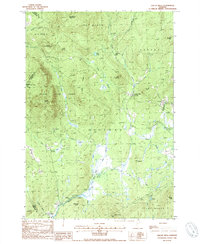
1988 Map of Gallup Mills
USGS Topo · Published 1988About this map
Gallup Mills and Granby anchor this landscape in northeastern Vermont, where the Moose River carves through a densely forested terrain defined by the Victory State Forest. The map documents a geography where logging and light industry left visible marks, most notably at the Moccasin Mill (Site) and various Gravel Pit excavations near the riverbanks. High peaks such as East Haven Mountain and Umpire Mtn dominate the northern and western horizons, while the low-lying areas are characterized by wetlands like Bog Pond and Bog Brook.
Find a feature on this map
41 named features on this map. Tap any name to fly to it.
Don’t see what you’re looking for? This feature index may not catch every label — zoom into the map to look around manually.
Map Details
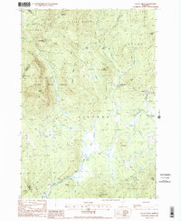
Editions of this 1988 Gallup Mills Map
2 editions found
Other maps of this area

1900 · Whitefield
USGS Topo · 1:62,500

1920 · Guildhall
USGS Topo · 1:62,500

1931 · Guildhall
USGS Topo · 1:48,000

1931 · Littleton
USGS Topo · 1:62,500

1932 · Littleton
USGS Topo · 1:48,000

1933 · Guildhall
USGS Topo · 1:48,000

1935 · Littleton
USGS Topo · 1:62,500

1935 · Whitefield
USGS Topo · 1:48,000

1937 · Guildhall
USGS Topo · 1:62,500

1938 · Whitefield
USGS Topo · 1:62,500