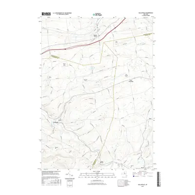
2016 Map of Gallupville
USGS Topo · Published 2016About this map
Quaker Street and Gallupville anchor a landscape defined by the intersection of Schenectady, Albany, and Schoharie counties. This 2016 survey highlights a region characterized by small rural settlements and a series of private airfields, including Nettie's Place Airport, Apex Airport, and Blue Heron Airport, scattered across the plateau. The topography is deeply etched by watercourses such as Normans Kill and Fox Creek, while higher elevations like Zimmer Hill provide local relief. Genealogists will find several burial grounds mapped, from the Gallupville Rural Cem to the smaller Zimmer Cem and Barton Hill Cem. The map illustrates a contemporary rural New York pattern where traditional agricultural hubs like Berne and Knox coexist with decentralized residential properties linked by an extensive network of county roads like Co RD 131 and Bozenkill Rd.
Find a feature on this map
106 named features on this map. Tap any name to fly to it.
Don’t see what you’re looking for? This feature index may not catch every label — zoom into the map to look around manually.
Map Details
Editions of this 2016 Gallupville Map
This is the sole edition of this map. No revisions or reprints were ever made.
Other maps of this area

1895 · Amsterdam
USGS Topo · 1:62,500

1896 · Fonda
USGS Topo · 1:62,500

1898 · Fonda
USGS Topo · 1:62,500

1898 · Schoharie
USGS Topo · 1:62,500

1900 · Schoharie
USGS Topo · 1:62,500

1900 · Schoharie
USGS Topo · 1:31,680

1900 · Berne
USGS Topo · 1:62,500

1902 · Fonda
USGS Topo · 1:62,500

1903 · Berne
USGS Topo · 1:62,500

1931 · Amsterdam
USGS Topo · 1:62,500