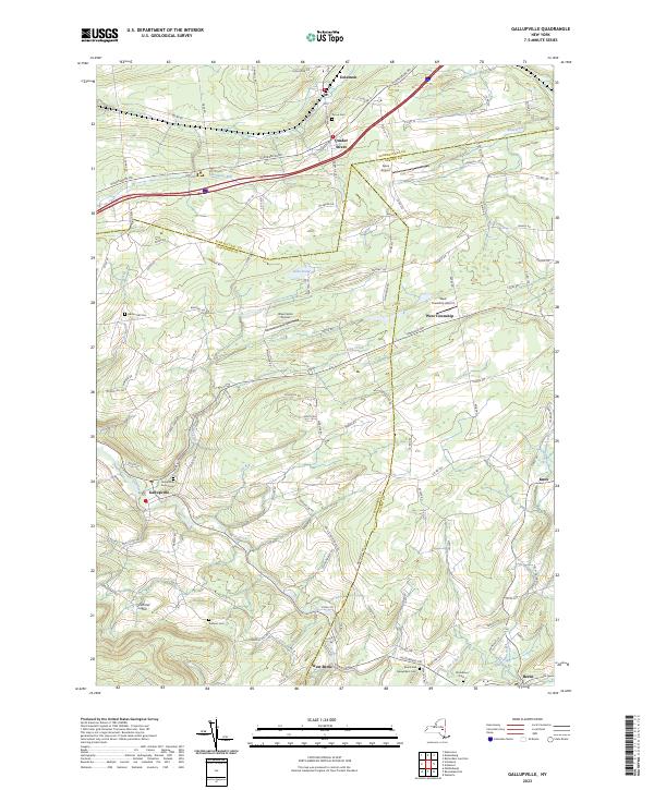
2023 Map of Gallupville
USGS Topo · Published 2023About this map
Gallupville and West Berne anchor the southern reaches of this landscape, situated along the winding course of Fox Creek. The map documents a rural transition zone where the hills of Schoharie and Albany Counties meet, characterized by small hilltop airports like Apex Airport and Blue Heron Airport. Evidence of early community life is preserved through numerous family and community burial grounds, including the Gallupville Rural Cem and the Zimmer Cem near Zimmer Hill. To the north, the village of Quaker Street and the neighboring Delanson sit near the valley of Normans Kill, reflecting the historical importance of these corridors for movement through the Helderberg region. The network of local routes like Duanesburg Rd and Salsburg Rd connects isolated settlements such as West Township, tracing the old topography of the New York countryside.
Find a feature on this map
114 named features on this map. Tap any name to fly to it.
Don’t see what you’re looking for? This feature index may not catch every label — zoom into the map to look around manually.
Map Details
Editions of this 2023 Gallupville Map
This is the sole edition of this map. No revisions or reprints were ever made.
Other maps of this area

1895 · Amsterdam
USGS Topo · 1:62,500

1896 · Fonda
USGS Topo · 1:62,500

1898 · Fonda
USGS Topo · 1:62,500

1898 · Schoharie
USGS Topo · 1:62,500

1900 · Schoharie
USGS Topo · 1:62,500

1900 · Schoharie
USGS Topo · 1:31,680

1900 · Berne
USGS Topo · 1:62,500

1902 · Fonda
USGS Topo · 1:62,500

1903 · Berne
USGS Topo · 1:62,500

1931 · Amsterdam
USGS Topo · 1:62,500