Loading...
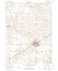
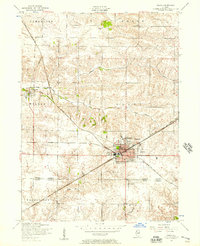
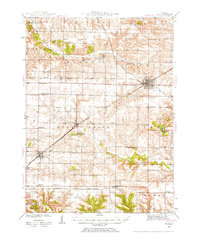
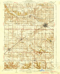
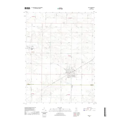
Loading map...1953 Map of Galva
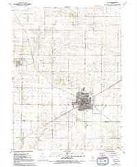
USGS Topo · Published 1977About this map
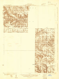
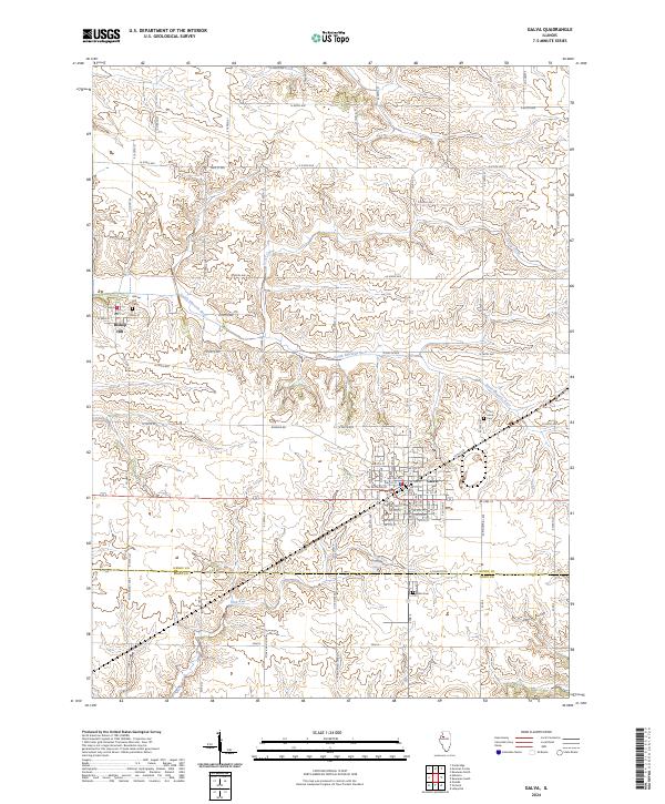
Galva stands as a central rail hub in the 1950s, defined by the active lines of the Chicago Burlington and Quincy and the remnants of transportation history marked by an Old Railroad Grade. The settlement pattern reflects a stable agricultural economy, anchored by the Galva Grange Hall and community spaces like Wiley Park. To the northwest, the historic village of Bishop Hill occupies the banks of the South Edwards River, representing a distinct pocket of regional heritage along the water's edge.
Find a feature on this map
20 named features on this map. Tap any name to fly to it.
Don’t see what you’re looking for? This feature index may not catch every label — zoom into the map to look around manually.
Map Details
Date Portrayed1953
Date Published1977
PublisherU.S. Geological Survey
Map TypeTopographic
Scale1:24,000
Physical Dimensions21.9 x 26.9 inches
Editions of this 1953 Galva Map
2 editions found
Historical Maps of Galva Through Time
10 maps found
Featured Locations
Source Details
SourceU.S. Geological Survey
CopyrightPublic Domain