
1965 Map of Galva
USGS Topo · Published 1966About this map
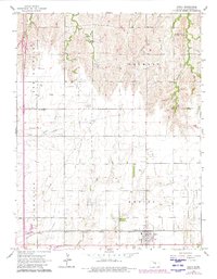
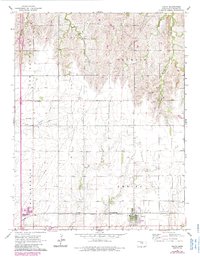
The town of Galva sits at the southern edge of this mid-1960s survey, serving as a hub where the Chicago Rock Island And Pacific and the Atchison Topeka And Santa Fe railroads converge. This agricultural landscape in McPherson County is defined by its rural institutions and early industrial markers, such as the North Diamond Community Hall Quarry in the northeast and several Gas Well sites.
Find a feature on this map
22 named features on this map. Tap any name to fly to it.
Don’t see what you’re looking for? This feature index may not catch every label — zoom into the map to look around manually.
Map Details
Editions of this 1965 Galva Map
3 editions found
Other maps of this area

1889 · Newton
USGS Topo · 1:125,000

1889 · Abilene
USGS Topo · 1:125,000

1891 · Hutchinson
USGS Topo · 1:125,000

1892 · Salina
USGS Topo · 1:125,000

1893 · Hutchinson
USGS Topo · 1:125,000

1894 · Newton
USGS Topo · 1:125,000

1894 · Abilene
USGS Topo · 1:125,000

1942 · Salina
USGS Topo · 1:125,000

1955 · Hutchinson
USGS Topo · 1:250,000

1959 · Hutchinson
USGS Topo · 1:250,000