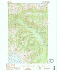
1988 Map of Gamma Peak
USGS Topo · Published 1988About this map
Gamma Peak and the surrounding high country of the Glacier Peak Wilderness are defined by a network of massive ice fields and steep drainage basins. Glacial systems including the Ptarmigan Glacier, Ermine Glacier, and N Guardian Glacier feed into remote watercourses like Dusty Creek and Chocolate Creek, illustrating the raw hydrological patterns of the North Cascades. The Pacific Crest National Scenic Trail winds through this terrain, connecting hikers to significant landmarks such as Gamma Hot Springs and the Lookout Tower positioned along the ridges. Within the Mt Baker National Forest, the map also details high-altitude features like Image Lake and Totem Pass, providing an essential record of the region’s topography and wilderness boundaries during the late twentieth century.
Find a feature on this map
33 named features on this map. Tap any name to fly to it.
Don’t see what you’re looking for? This feature index may not catch every label — zoom into the map to look around manually.
Map Details
Editions of this 1988 Gamma Peak Map
2 editions found
Other maps of this area

1899 · Glacier Peak
USGS Topo · 1:125,000

1901 · Glacier Peak
USGS Topo · 1:125,000

1902 · Stehekin
USGS Topo · 1:125,000

1904 · Stehekin
USGS Topo · 1:125,000

1944 · Holden
USGS Topo · 1:62,500

1949 · Holden
USGS Topo · 1:62,500

1950 · Glacier Peak
USGS Topo · 1:62,500

1955 · Concrete
USGS Topo · 1:250,000

1958 · Concrete
USGS Topo · 1:250,000

1962 · Concrete
USGS Topo · 1:250,000